SommGeo Map Makers
Build the map you need.
Choose a wine region, toggle between satellite imagery, terrain relief, and clean basemaps, and isolate the appellations you need. Build a custom map for study, presentations, or reference, and export at full resolution.
Your Regions, Your Layers, Your Map
Map Makers put the controls in your hands. Every country in the SommGeo library has a Map Maker that lets you choose which appellations appear, which basemap renders, and what level of detail to show. Toggle between satellite imagery, topographic relief, elevation overlays, and clean outline views. Every region renders in 3D. The specific layer combinations are calibrated to each geography. The result is a custom interactive map built for your exact purpose: exam study, trade presentation, classroom lecture, or personal reference.
Toggle Everything
Appellations, sub-regions, satellite imagery, topographic contours, elevation shading, outline basemaps. Turn each layer on or off to build the view that answers your specific question.
See It Every Way
Switch between satellite imagery, topographic relief, and clean outlines. 3D terrain rendering lets you rotate and tilt to see slope, aspect, and elevation. Elevation profile tools measure the gradients that shape viticulture across every mapped region.
Reference-Grade Content
This is not a reference book with a map attached. The map is the interface. Click a boundary to read its soil profile, classifications, climate context, and producers. The content is what you’re actually studying.
22 Countries. Infinite Configurations.
Each Map Maker gives you full control over a country’s wine regions with interactive layers and multiple basemap views. Select which appellations appear, toggle terrain data, and build the exact view you need. Burgundy’s vineyard-level detail earns its own dedicated Map Maker alongside the country-level France map.
Argentina
Open Map Maker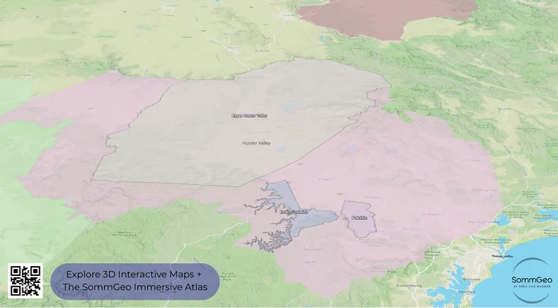
Australia
Open Map Maker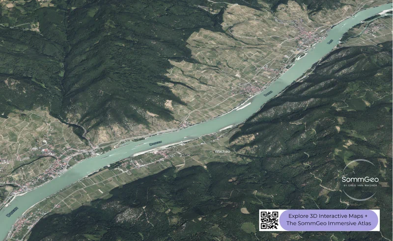
Austria
Open Map Maker
Burgundy
Open Map Maker
Central+East EU
Open Map Maker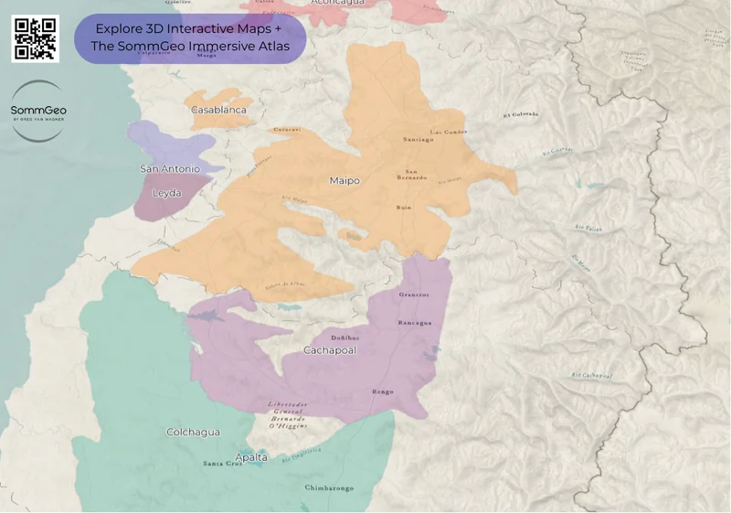
Chile
Open Map Maker
France
Open Map Maker
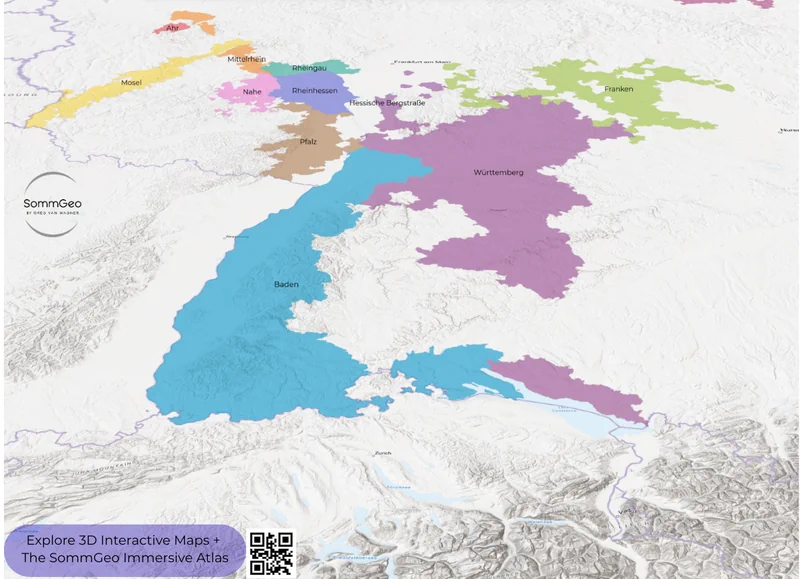
Germany
Open Map Maker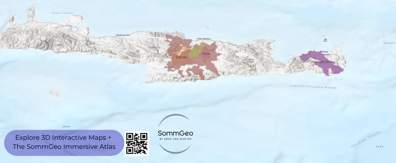
Greece
Open Map Maker
Italy
Open Map Maker
New Zealand
Open Map Maker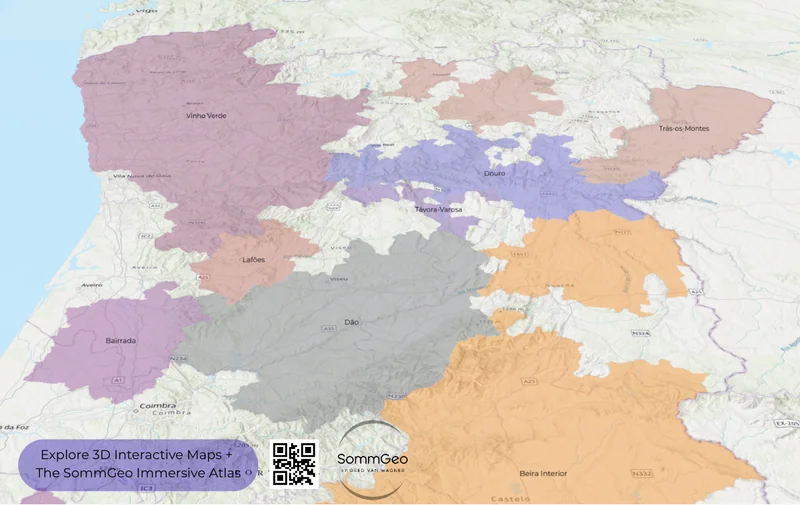
Portugal
Open Map Maker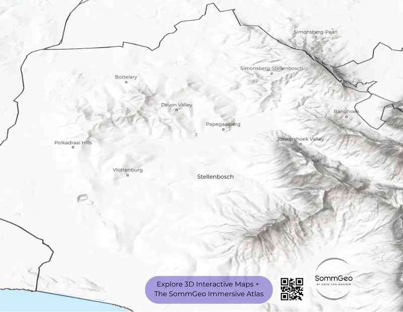
South Africa
Open Map Maker
Spain
Open Map Maker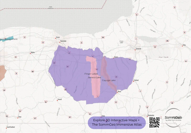
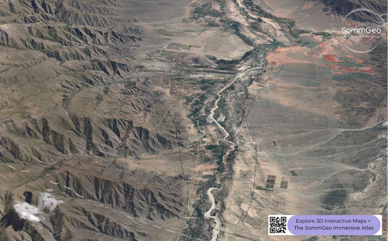
United States
Open Map MakerA Tool That Doesn’t Exist Anywhere Else
Printed atlases are fixed. Map Makers are interactive environments where you control what appears, how the terrain renders, and which data layers are active.
Build Your Exam Map
Isolate the appellations you’re studying. Toggle off everything else. Rotate the view to see why the boundaries fall where they do. This is active study, not passive reading.
- Isolate individual appellations or groups to focus your study session
- Toggle between satellite, topographic relief, and clean outline basemaps
- Elevation tools show how rivers, ridgelines, and slope shape boundaries
- Deep regional content on every activated boundary
Build Your Presentation Map
Show exactly where your portfolio’s vineyards sit. Build a custom view for a staff training. Create the regional overview your sales meeting actually needs.
- Turn on only the regions relevant to your portfolio or lesson plan
- Interactive terrain makes geographic context immediately visible
- Reference data available on click for any activated region
- Export your configured view for presentations, trainings, and handouts
Interactive Platforms for the Wine Trade
SommGeo builds end-to-end visualization solutions for the wine industry: interactive portals for trade associations, wall-scale professional cartography for producers, immersive 3D regional experiences for importers and distributors. Your regions, your data, your story, delivered on a platform that no print piece or PDF can match.
Nothing Like This Exists. Try It.
Open the complimentary Spain Map Maker to see how the tools work. When you’re ready, the full library unlocks with a SommGeo subscription.
The Rest of the Platform
Map Makers are one layer of the atlas. Here’s what else is inside.
The Globe
Every major wine region, one searchable 3D globe.
LaunchFast Maps
A flat, searchable atlas of every appellation in each country.
Browse AtlasTours
Immersive 3D guides with reference-grade regional detail.
Take a TourTools
Pour cost, pricing, flight profitability, and conversion calculators.
Open ToolsClassic Maps
High-resolution cartographic wine maps for print and reference.
View Maps