SommGeo Tours
Fly the vineyards. Read the ground.
Guided 3D presentations that move through wine regions at terrain level. Geology, classifications, producers, and climate at every stop across 24 regions, built for the most demanding certifications and programs.
The Deepest Content on the Platform
SommGeo Tours are guided 3D presentations that fly through real-world terrain at high resolution, stopping at each appellation with high-level content. Every Tour is valuable at any level, but the depth here is specifically built for professionals working at the highest tiers of the industry: advanced certification candidates, beverage directors running serious programs, and educators who need material that doesn’t cut corners. Best experienced on a laptop or tablet where the terrain detail and text panels have room to breathe.
Real Terrain, Not Illustrations
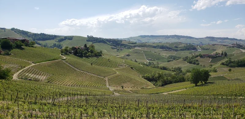
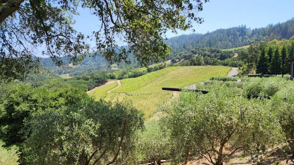
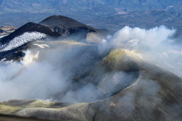
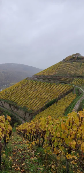
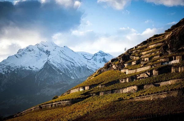
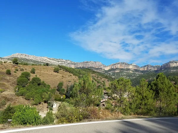
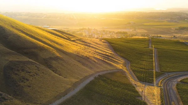
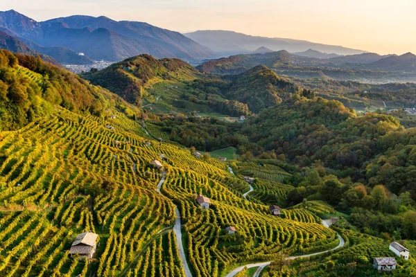
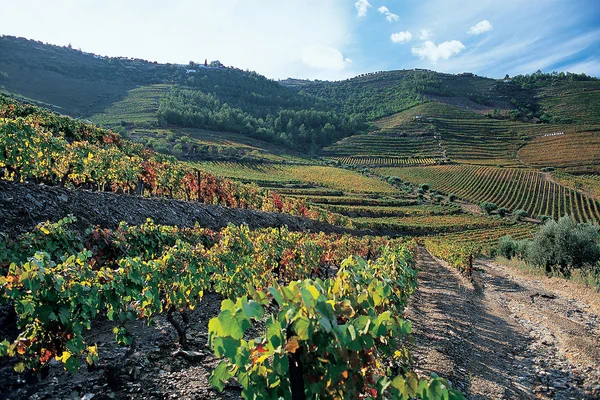
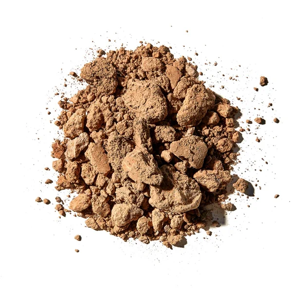
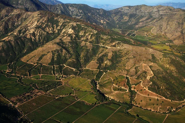
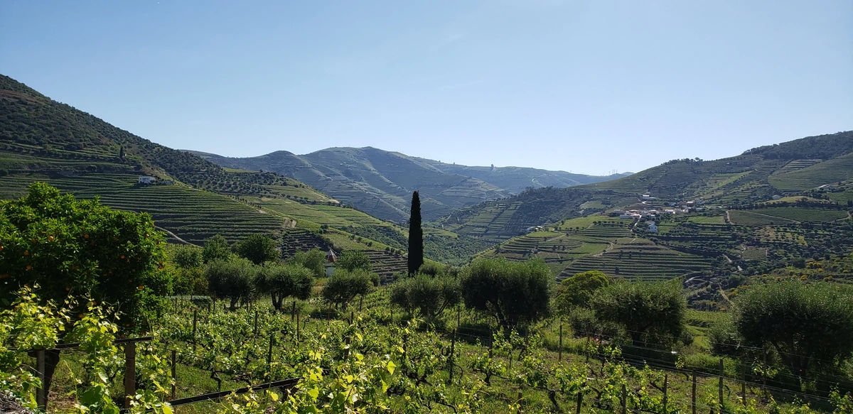
Tours render actual elevation data. You fly over ridgelines, follow river valleys, and see slope aspect as it exists in the physical world. The terrain beneath the vineyards is visible, not abstracted.
Reference-Grade at Every Stop
Each waypoint contains soil profiles, classification hierarchies, permitted varieties, producer notes, and climate data. Built for the level of study that the most advanced certifications demand.
Guided, Not Random
Tours are structured journeys, not open maps. Each one moves you deliberately through the region’s key areas, surfacing the information that matters at each location. The presentation leads you to the right place at the right time and gives you the context when you get there.
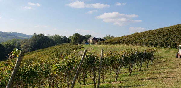
24 Regions. Every Major Wine Country.
Each Tour covers a wine region or country with more depth than any other resource on the platform. The content at every stop is written for professionals who need the full picture, not a summary.
Alsace
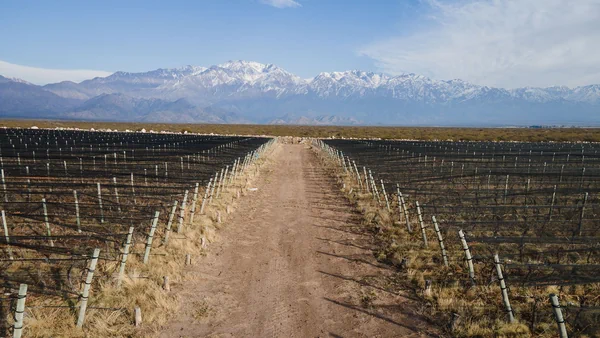
Argentina

Australia

Austria

Bordeaux
Burgundy & Beaujolais
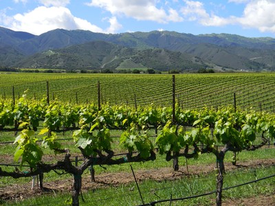
California
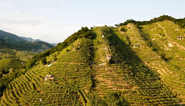
Central & S. Italy
Champagne

Chile
Germany

Greece
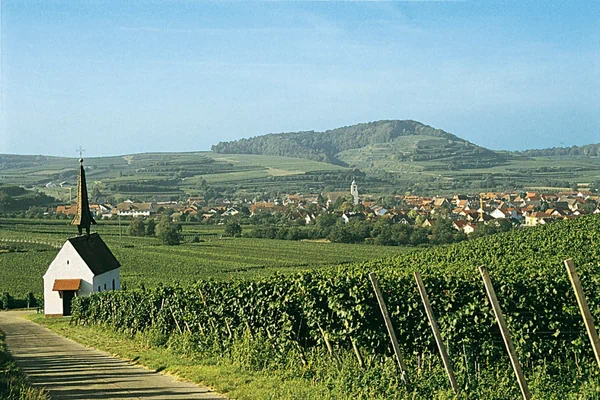
Jura, Savoie & Switzerland
Languedoc & SW France
Loire Valley

New Zealand

Northern Italy
Northern Rhône
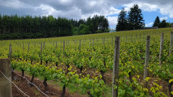
Oregon
Portugal
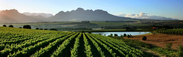
South Africa
S. Rhône & Provence
Spain
Washington
The Deepest Content on the Platform
Click to advance waypoint by waypoint. The 3D view moves with you, and the next region’s classification, soil, and producer context are ready on the panel when you land. Running a Tour is as simple as running a slide deck.
Real Terrain, Not Illustrations
Tours render actual elevation data. You fly over ridgelines, follow river valleys, and see slope aspect as it exists in the physical world.
Reference-Grade at Every Stop
Soil profiles, classification hierarchies, permitted varieties, producer notes, and climate data at every waypoint.
Guided, Not Random
Tours move you deliberately through each region’s key areas, surfacing the right information at the right location. The presentation leads; you explore.
For the Most Demanding Use Cases
Tours are useful at any stage, but they were designed with the most demanding use cases in mind: advanced certification preparation, high-level staff education, and trade presentations where geographic depth is the point.
Go Beyond Intermediate
Tours contain the kind of detail that separates advanced preparation from everything that comes before it. The guided progression moves from regional overview through each appellation, layering in the specifics that matter at the highest exam levels. The 3D terrain makes the physical logic behind boundaries, soil variations, and mesoclimate visible in a way that flat study materials cannot.
- Guided progression from regional overview to appellation-level detail and beyond
- Soil profiles, classification hierarchies, permitted varieties, and climate data at every stop
- 3D terrain reveals the physical logic behind appellation boundaries
Present Regions Like You’ve Been There
Running an advanced staff training on Burgundy? Presenting a portfolio’s story to serious buyers? Tours give you a guided 3D walkthrough of the region that replaces static slides and printed handouts with a visual experience your audience will actually remember.
- Fly through vineyards in real time during trainings and presentations
- Reference data on screen for every region you discuss
- Replace PDFs with an interactive experience that tells the story visually
SommGeo Collaborations
Custom Tours built in partnership with producers, trade organizations, and media. Each one showcases a specific story told through the SommGeo platform.
Winery Close-Up Series
Two Quintas with Symington
Dig Deep: Monterey Geology
LODI Rules
Clink Different Series
Italia del Vino

Paso Robles CAB Camp
Ventisquero
Custom 3D Tours for Your Region or Portfolio
Producer associations, importers, and regional promotion boards commission custom SommGeo Tours to showcase their regions in a format that no brochure or PDF can match. Your appellations, your producers, your narrative, delivered as an immersive 3D experience that trade professionals explore on their own time.
See a Region the Way It Deserves to Be Seen.
Try the complimentary Jura, Savoie & Switzerland Tour to experience how it works. When you’re ready, the full library of 24 Tours unlocks with a SommGeo subscription.
The Rest of the Platform
Tours are one layer of the atlas. Here’s what else is inside.
The Globe
Every wine region on Earth, one searchable 3D globe.
LaunchFast Maps
Searchable atlas of every appellation in every country.
Browse AtlasMap Makers
Build your own maps with layers, regions, and terrain.
Build a MapTools
Pour cost, pricing, and conversion calculators.
Open ToolsClassic Maps
High-resolution cartographic wine maps for print.
View Maps