
SommGeo Fast Maps
The wine atlas, searchable.
Every major wine-producing country, mapped at the appellation level. Search any region, read the reference-grade detail beneath it.
Reference, Not Decoration
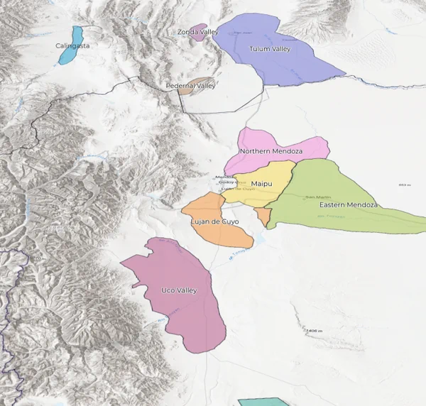
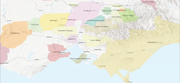
Fast Maps are the working professional’s digital atlas. Every appellation boundary, every sub-region, every layer of context you’d expect from a printed reference, rebuilt as an interactive GIS map you can search in the cellar, during a tasting, or on the train home.
Searchable by Appellation
Type the name, get the answer. From Fitou to Finger Lakes, from Barolo to Bandol, every mapped region resolves instantly with its boundaries, wine law, and classification context.
Reference-Grade Detail
Soil profiles, classification hierarchies, climate data, and producer context built into every mapped appellation. Depth that holds up to professional scrutiny, delivered as a map you can navigate.
Built for the Phone
Designed for the cellar, a restaurant floor, a retail shelf, or a classroom desk. The full atlas fits in your pocket and loads fast enough to keep up with service.
22+ Countries. Every Appellation.
15 Fast Maps covering the major wine-producing nations of the world. The expandable 3D Fast Maps list below each card shows the terrain-analysis versions available for that region.


Central & Eastern Europe
View Fast Map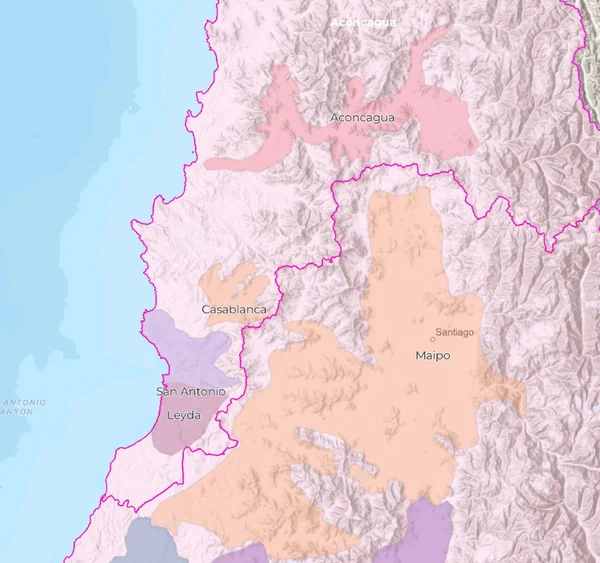
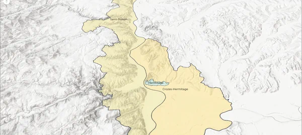


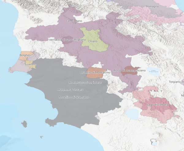
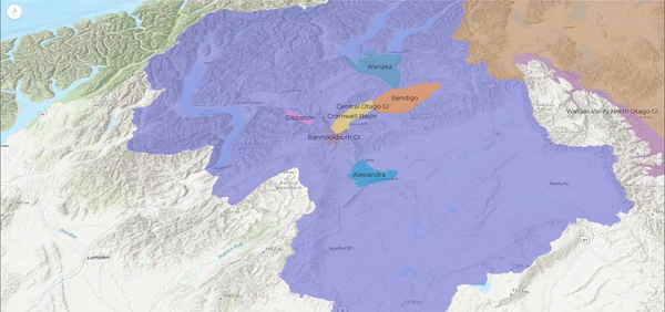
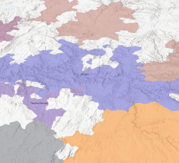


Two Views of the Same Ground
Fast Maps answer the question. 3D Fast Maps show you why the answer is what it is. Most professionals use both.
The Reference Layer
A 2D, searchable atlas of every appellation in a country. Fast to load, fast to navigate, fast enough to keep pace with service.
- Complete appellation coverage at country and sub-country level
- Reference-grade content on soils, classifications, and producers
- Search bar pulls any appellation name instantly
- Optimized for phones, tablets, and laptop
The Terrain Layer
Everything the Fast Map gives you, rendered on true 3D terrain with sun-aspect shading. You can see which slopes face south, where the rivers cut through, and why the vineyard is where the vineyard is.
- Elevation, slope, and aspect rendered in interactive 3D
- Sun-aspect shading shows what the vine actually sees
- Rotate, tilt, and zoom to any vineyard parcel
- Same reference-grade content as Fast Maps, spatially anchored
Custom Fast Maps for Your Region or Portfolio
Producer associations, importers, and distributors use custom-branded Fast Maps to show trade partners their regions at appellation-level depth. Your data, your producers, your boundaries, on the SommGeo platform.
Every Appellation, Searchable. Start Free.
Try the complimentary Spain Fast Map to see how the atlas works. When you’re ready, the rest of the atlas is yours with a subscription.
The Rest of the Platform
Fast Maps are one layer of the atlas. Here’s what else is inside.
The Globe
Every major wine region on Earth, one searchable 3D globe.
LaunchMap Makers
Build your own maps. Select regions, toggle layers, print
Build a MapTours
Immersive 3D guides with reference-grade regional detail.
Take a TourTools
Pour cost, pricing, flight profitability, and conversion calculators.
Open ToolsClassic Maps
High-resolution static GIS maps for print, study, and presentation.
View Gallery